With global temperatures increasing significantly, features such as building height, trees and surface types can reduce the urban heat island effect, according to a study of heatwaves in three cities in the United States.
An international team of researchers along with Mohamad Hejazi, executive director for the Climate and Sustainability Department at KAPSARC, used advanced technology to map mean radiant temperature during three heatwaves in three US cities in the summer of 2021. By combining remote sensing and satellite data, a microclimate model along with LiDAR (a high-resolution mapping tool), they were able to create a detailed map of hourly heat-exposure in Des Moines in Iowa, Boston in Massachusetts, and Riverside in California, during the heatwaves and on non-heatwave days.
The team found that overall, the central urban areas of these cities were around 5°C hotter during heatwaves than the surrounding rural areas. But exposure during heat waves varied substantially across the urban landscape and between the cities.
The most significant factor affecting radiant temperature was the amount of sky exposure at street level. This was largely influenced by the heights of buildings; taller structures blocked more sunlight, resulting in lower radiant temperatures on the ground.
“Heat exposure in urban canyons of downtown areas was high due to the relatively low building height-to-street-width ratio, which resulted in a limited shading effect in the studied cities,” the study found. Around two-thirds of the variance in mean radiant temperature could be attributed to this sky view factor.
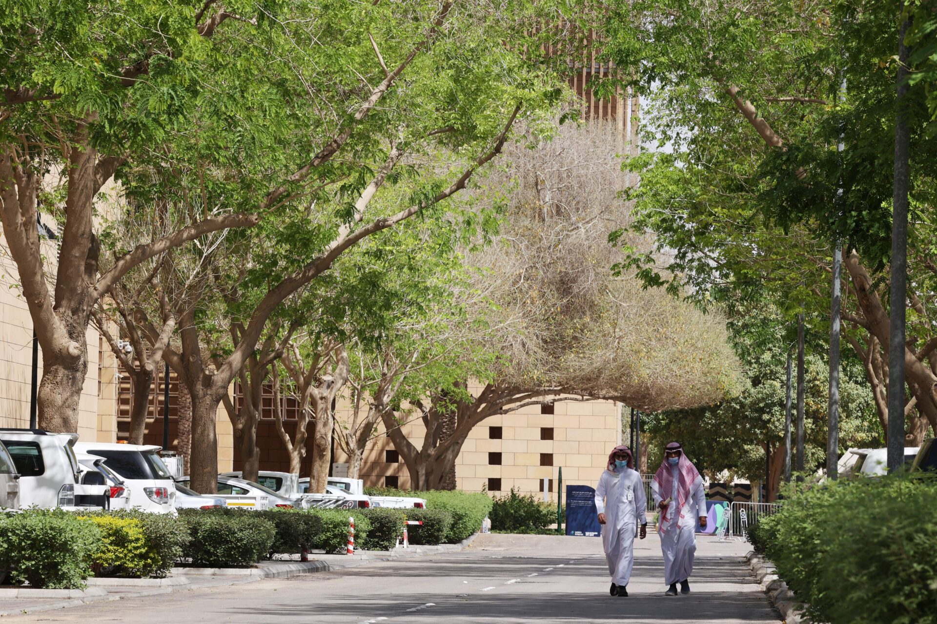
The influence of surfaces and trees was less definitive. In the more humid Boston, trees were associated with a greater reduction in street-level temperatures during heat waves compared to in the hotter and drier Riverside. However, Riverside’s impervious surfaces, such as concrete and tarmac, significantly increased the impact of heat waves.
While the urban heat island effect is already well studied, Hejazi says the significance of this analysis was its ability to explore the phenomenon in much greater detail. “We zoom in to investigate the implications of various urbanization and urban landscapes on heat exposure at high resolution. We look into neighborhoods and talk about different densities, and tree coverage within the city, then you start to get into shading effects and the ratio of how tall your building is to what the size of the building is,” Hejazi says. “That’s the unique three-dimensional geometry that we were able to capture in our analysis.”
Reference
Hu, J.; Zhou. Y.; Yang, Y.; Chen, G.; Chen, W.; Hejazi, M.; Multi-city assessments of human exposure to extreme heat during heat waves in the United States. Remote Sensing of Environment, 295: 113700, 2023. | Article


